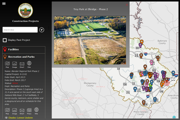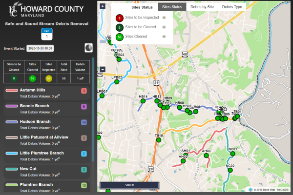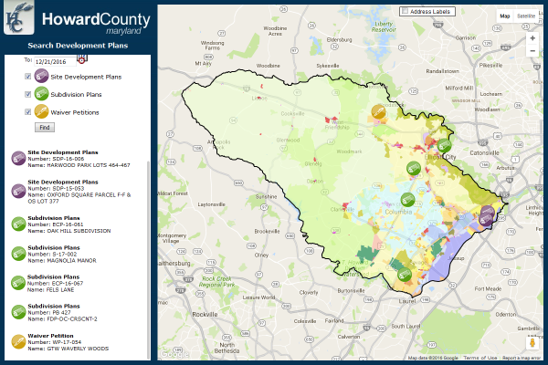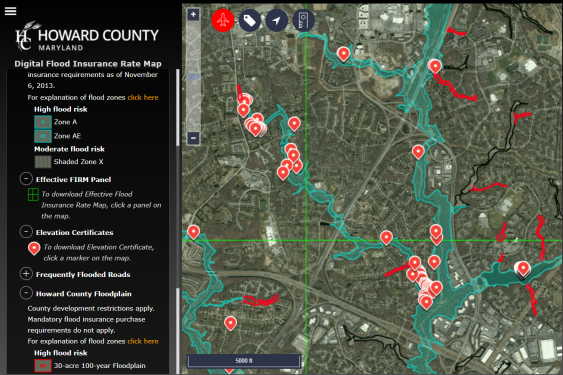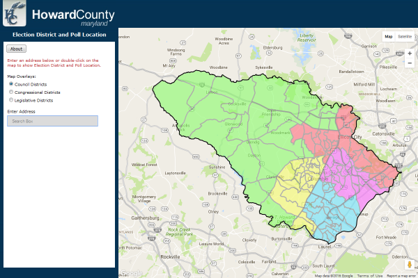
Below are our three primary applications.... For over a dozen additional applications and viewers choose the "Map and Data Tools" tab.
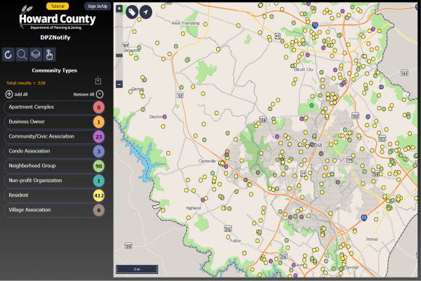
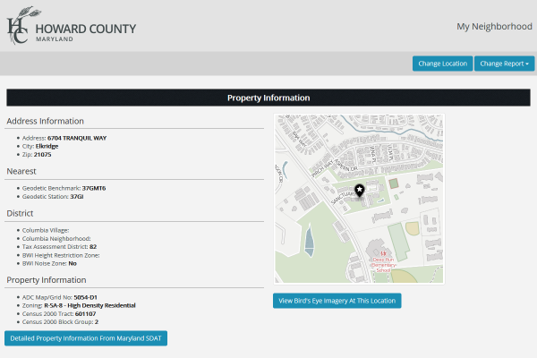
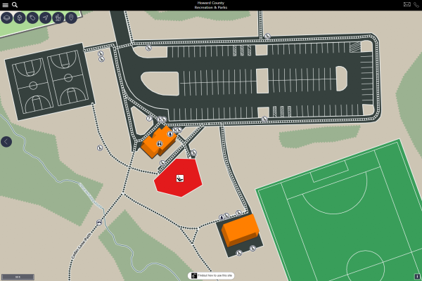
My Neighborhood
Find a Howard County address and view detailed information about it including nearby public facilities.
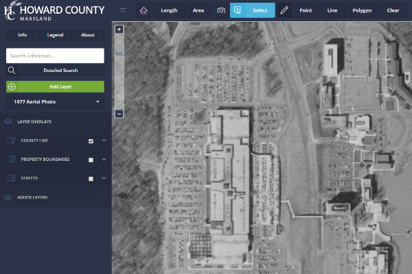
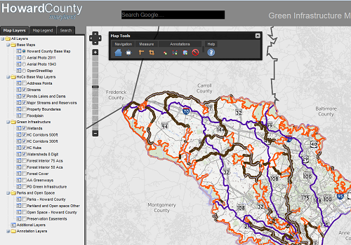
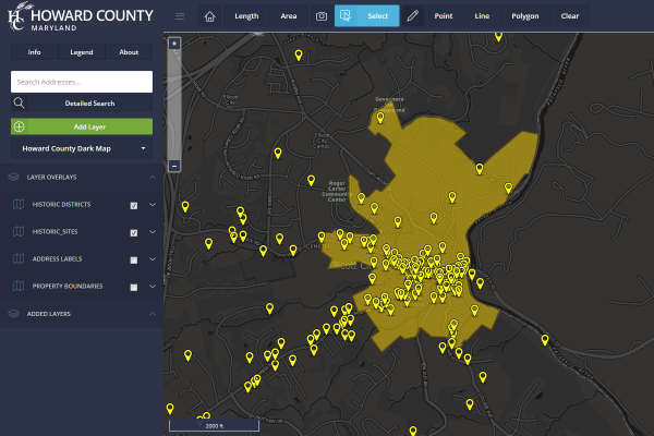
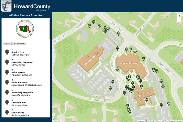
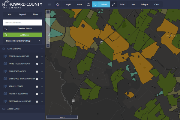
Interactive Map
Load and overlay different county datasets on an interactive map. For more advanced users.
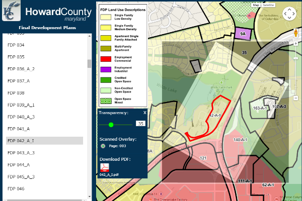
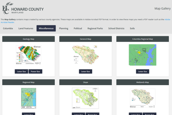
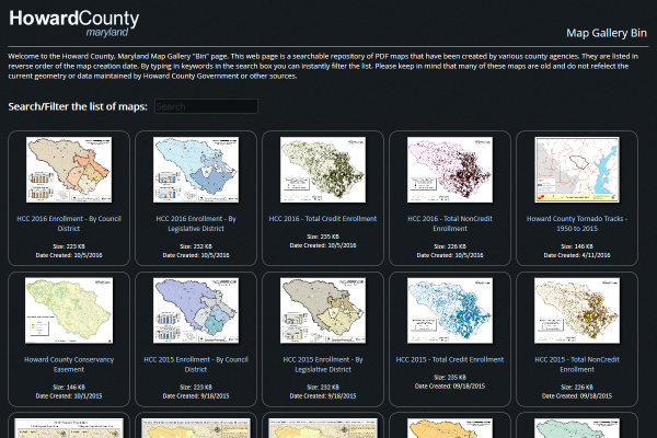
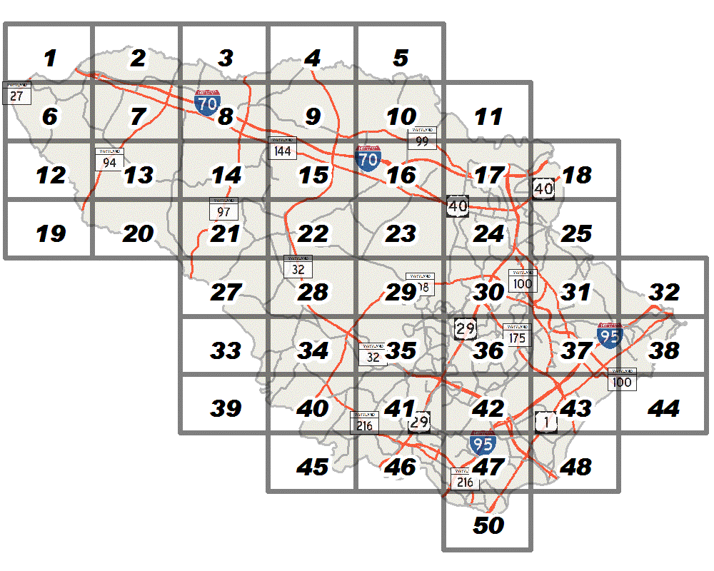
Map Gallery
View general-purpose PDF maps generated by various county agencies for easy printing.